

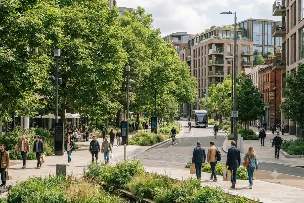
Smart urban greening is changing how towns and cities can plan, monitor and manage trees, parks, green spaces and other forms of urban nature. By combining digital mapping, sensors, data analysis and smart planning tools with traditional landscape management, councils and developers can make better-informed decisions about where greenery is needed and how it should be maintained.
Urban greening has always been about more than planting trees. Successful green infrastructure needs suitable locations, long-term maintenance, biodiversity considerations and an understanding of how different spaces connect. Technology can add another layer by helping decision-makers understand existing assets, identify gaps and monitor changes over time.
For UK communities facing pressures such as urban heat, surface water, biodiversity loss and limited access to quality green space, this combination of environmental planning and technology has growing relevance.
What Is Smart Urban Greening?
Smart urban greening refers to the use of digital technology, environmental data and intelligent planning methods to design, manage and improve green spaces in urban areas.
It can include tools for mapping trees, monitoring soil and environmental conditions, analysing canopy coverage, planning new planting, managing parks and assessing access to green infrastructure. Rather than replacing arborists, landscape professionals or urban planners, these technologies can give them better information to support practical decisions.
The approach fits within the wider concept of green infrastructure, which can include parks, gardens, street trees, green roofs and walls, sustainable drainage features and other natural assets. UK planning guidance recognises green infrastructure as a network capable of providing environmental, economic, health and wellbeing benefits. UK government guidance on green infrastructure provides further context for how these assets can be considered in planning.
Why Smart Urban Greening Matters in the UK
Urban areas contain a mixture of streets, buildings, parks, private gardens, waterways and other spaces. Managing these assets effectively can be difficult when information is spread across different departments, databases and physical records.
Digital systems can bring information together and make it easier to understand how individual green assets fit into the wider urban environment.
This is particularly useful as councils and developers increasingly need to think about climate resilience, biodiversity, access to nature and the long-term performance of urban landscapes. Natural England’s Green Infrastructure Framework provides tools and standards intended to help planners and developers assess and improve green infrastructure in towns and cities.
Smart technology does not solve these challenges by itself. However, better data can make planning more targeted and help organisations prioritise resources where they are most useful.
How Urban Greening Technology Works
Urban greening technology can involve several different digital systems working together. The exact combination depends on the size of the project and the information that needs to be collected.
Digital Mapping
Digital mapping is one of the most useful foundations for modern green-space management. Geographic information systems can record the location and characteristics of trees, parks, planting areas, green roofs and other assets.
Mapping allows planners to see where green infrastructure already exists and where gaps may occur. It can also help identify relationships between green spaces, roads, buildings, waterways and residential areas.
Recent UK government work demonstrates how powerful spatial data can be for environmental planning. Forest Research’s Trees Outside Woodland Map uses lidar and satellite imagery to identify trees, groups of trees and small woodlands outside mapped woodland areas in England.
Such datasets can provide a stronger evidence base for understanding urban and wider tree cover.
Environmental Sensors
Sensors can collect information about environmental conditions that may influence the performance of planted areas. Depending on the application, this could include soil moisture, temperature or other local environmental measurements.
For example, data about soil conditions can help maintenance teams understand whether an area requires attention. Instead of applying the same maintenance approach everywhere, teams may be able to target specific locations.
The benefit is not simply automation. Good sensor data can support more efficient use of water, staff time and other resources when combined with professional judgement.
Tree and Green Asset Databases
Digital asset-management systems can maintain records for individual trees and other landscape features. Information may include location, species, dimensions, inspection records, maintenance requirements and work history.
This approach is especially useful for organisations responsible for large numbers of urban trees. A searchable digital record can make it easier to plan inspections, schedule maintenance and understand how an urban tree population is changing.
Forest Research’s i-Tree Eco project is another example of technology being used to quantify and value urban trees and greenspaces. Its data can support resource management decisions, policy development and priority setting.
Smart Cities and Green Infrastructure
Smart cities are often associated with connected transport, energy systems, sensors and digital public services. However, green infrastructure can also form an important part of a smart-city strategy.
Smart cities green infrastructure can connect environmental assets with wider urban planning. For example, information about tree canopy, surface water, temperature, land use and access to green space can help planners understand where different interventions may have the greatest value.
This creates a more connected approach to urban development. A tree is no longer considered only as an individual planting location. It can be viewed as part of a network that contributes to shade, habitat, landscape character, drainage and public space.
The Forestry Commission’s guidance on managing the urban forest highlights the multiple benefits of urban trees, including shade, cooling, biodiversity, air-quality benefits and improved places for people.
Digital Tree Management in Practice
Digital tree management can make the administration of an urban tree population more structured.
A council or property manager may use a digital platform to create a record for each tree. The system could then connect inspection information with maintenance tasks, photographs, location data and future work requirements.
Over time, this creates a useful history of the asset. Instead of relying entirely on separate spreadsheets, paper records or individual knowledge, organisations can build a more consistent picture of their urban trees.
Technology can also help identify patterns. If particular locations repeatedly require maintenance or show environmental stress, the data may prompt a closer investigation into site conditions, species suitability or management practices.
However, digital records should support rather than replace professional tree assessment. A database can store information and highlight priorities, but qualified professionals remain important when assessing tree condition, safety and appropriate management.
Using Data for Smart Landscape Planning
Smart landscape planning begins with understanding the site and its surrounding environment.
Digital tools can combine different types of information to help planners evaluate potential planting locations and green-space improvements. Relevant information may include existing vegetation, land ownership, pedestrian routes, built development, drainage, environmental conditions and proximity to existing green spaces.
This can help move urban greening away from isolated projects and towards connected networks.
For example, planting a small group of trees may provide local shade, but connecting green spaces through tree-lined routes, parks and other vegetation can create wider environmental and recreational benefits. The objective is therefore not simply to increase the number of planted trees but to improve the quality, location and connectivity of green infrastructure.
Smart Urban Greening and Climate Resilience
Climate resilience is an important reason for developing better approaches to urban greening.
Trees and other vegetation can provide shade and help cool urban areas. Green infrastructure can also contribute to surface-water management, while connected habitats can support biodiversity.
UK government guidance notes that climate change is placing new pressures on urban green infrastructure and that appropriate tree selection and species diversity are important for long-term resilience.
Technology can help identify where these pressures may be greatest. Mapping tools can reveal areas with limited canopy cover or poor access to green space, while environmental datasets can help planners understand local conditions.
In June 2026, the Environment Agency and Natural England announced new analytical tools that map environmental pressures at street level and help identify areas where climate, environmental, socioeconomic and health pressures overlap. The government specifically highlighted urban greening as one type of action that can be targeted using this evidence.
Benefits of Green City Technology
Green city technology can provide several practical benefits when it is designed around real management needs.
- Better decision-making: Reliable data can give planners a clearer understanding of existing green assets.
- More targeted investment: Mapping can help identify locations where additional greening may be most useful.
- Improved maintenance: Digital records can help organise inspections and maintenance activities.
- Resource efficiency: Sensors and monitoring systems can support more targeted use of water and other resources.
- Long-term monitoring: Digital records make it easier to compare changes in tree cover and green infrastructure over time.
- Better coordination: Shared information can help planners, landscape teams and other stakeholders work from a common evidence base.
These benefits are strongest when technology is integrated into a clear management strategy rather than introduced simply because a system is available.
Challenges of Smart Urban Greening
Technology can improve green-space management, but it also introduces challenges.
One issue is data quality. A digital map is only useful when its underlying information is accurate, appropriately maintained and understood by the people using it.
Another consideration is cost. Sensors, software, mapping systems and data management require investment. Organisations need to consider installation, maintenance, training and long-term support rather than focusing only on the initial purchase price.
Privacy and cybersecurity can also matter where connected systems collect information about people, properties or public activity. Government guidance on connected places emphasises the importance of security and resilience when organisations buy or operate smart-city technologies.
Finally, technology should not become a substitute for practical expertise. Urban trees and landscapes are living systems. Their management requires knowledge of species, soil, growing conditions, tree health, ecology and local context.
How Councils Can Approach Smart Urban Greening
A practical approach is to begin with existing information and clearly defined objectives.
First, an organisation can establish what green assets it already manages and what information is available. This can then be combined with mapping and other environmental data to identify gaps or management priorities.
Next, the organisation can determine which technology solves a genuine problem. A simple digital tree inventory may be more valuable than an expensive sensor network if the primary challenge is poor asset records.
It is also important to consider long-term management. Systems should be designed so information can be updated as trees grow, landscapes change and new projects are completed.
Natural England’s Green Infrastructure Framework encourages evidence-based approaches to planning and managing urban green infrastructure, including mapping and standards that can support local decision-making.
Smart Urban Greening and Future Tree Management
The relationship between technology and tree management is likely to become increasingly important as urban areas become more data-driven.
Future systems may make it easier to combine tree inventories, aerial imagery, environmental monitoring and planning information. This could support more proactive management, particularly for large urban tree populations.
For property owners and land managers, however, technology should always sit alongside established responsibilities. Where a project involves trees with legal protection, for example, digital planning tools do not remove the need to understand the applicable protected trees law.
Similarly, projects involving wider land management may need to consider hedgerow regulations and, where relevant, requirements relating to a tree felling licence.
How Smart Urban Greening Connects with Green Technology
Smart urban greening is one practical application of the broader green technology landscape.
Both approaches focus on using technology to improve environmental outcomes, but smart urban greening applies that thinking specifically to urban landscapes and green infrastructure. The connection is useful because successful environmental technology often depends on understanding the physical environment in which it operates.
For UK towns and cities, that means combining digital capability with sound landscape design, tree management, ecological knowledge and long-term planning.
Final Thoughts
Smart urban greening brings together technology, environmental data and practical landscape management to create better-informed approaches to urban nature.
Digital mapping, tree databases, environmental sensors and analytical tools can help councils, planners and land managers understand where green infrastructure exists, where improvements may be needed and how assets change over time.
The most effective approach is not about making every green space digital. Instead, it is about using appropriate technology to support better decisions, stronger maintenance and more resilient urban environments.
As UK towns and cities continue to face pressures from climate change, development and changing environmental needs, combining good landscape planning with reliable data could become an increasingly valuable part of creating greener and more liveable places.
“`
